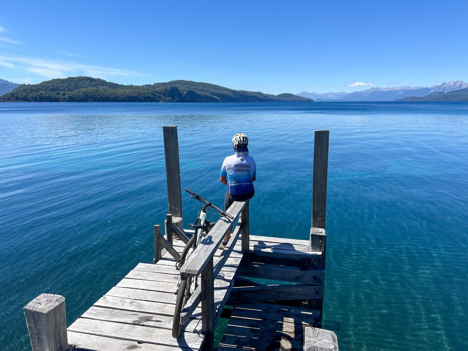

The Seven Lakes Route
It follows Route 40 and connects Bariloche with San Martín de los Andes. The seven lakes on the stretch between Villa La Angostura and San Martín are Espejo, Correntoso, Villarino, Escondido, Falkner, Machónico and Lácar.
On the 10-day trip we drive the route on day 6, heading for Villa La Angostura, and ride our bikes once we arrive. Lake Lácar shows up on day 4, from the viewpoints of San Martín de los Andes. On the 7-day trip, on day 5 we ride the final stretch of the route, starting at the entrance to Lake Hermoso.
The arrayanes
Los Arrayanes National Park was created in 1971, when it was separated from Nahuel Huapi National Park, and covers the Quetrihué peninsula at the northern end of Lake Nahuel Huapi. It spans 1,753 hectares, and the arrayán forest covers about 20 of them. The arrayán has cinnamon-colored bark with whitish patches, cool and smooth at once, and can reach 15 meters. The main trail is about 10 km long and has a boardwalk to protect the ground.
On day 6, from Villa La Angostura, we ride out to the Arrayán Forest and explore its trails.
Hills, rivers and lakes in seven stages
This is the route of the 10-day trip. The 7-day trip has five different stages, between Bariloche, Villa La Angostura and San Martín de los Andes.
About 217 km in total. Distances are approximate and the route may be adjusted depending on weather and group conditions.
Day 3 climbs Paso Córdoba on gravel, with a gradual ascent of 580 m of elevation gain and a long descent on wide roads. Day 7 climbs Cerro Bayo and comes down on trails through forests and waterfalls, to where the Río Bonito flows into Nahuel Huapi.
A pace for looking around
Stages run between 22 and 40 km. Day 8 is free in Bariloche, to sail on Nahuel Huapi, hunt for chocolate or ride the cable car. Patagonia changes quickly: the team checks the weather every day and, if needed, adjusts schedules, routes or logistics.